
East London
Eastern Cape
Coastal mapping & community development
Geospatial analysis supporting community-focused development initiatives along the coast.
From flood-risk modelling in Mthatha to urban ecology in Langa — every engagement combines spatial data with community insight.
Geospatial analysis supporting community-focused development initiatives along the coast.
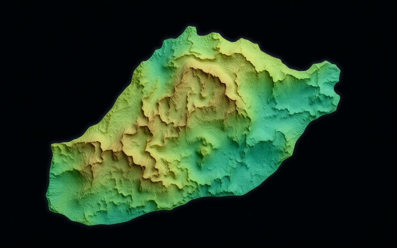
Flood-risk mapping and resilience interventions in response to the 2023–24 floods.
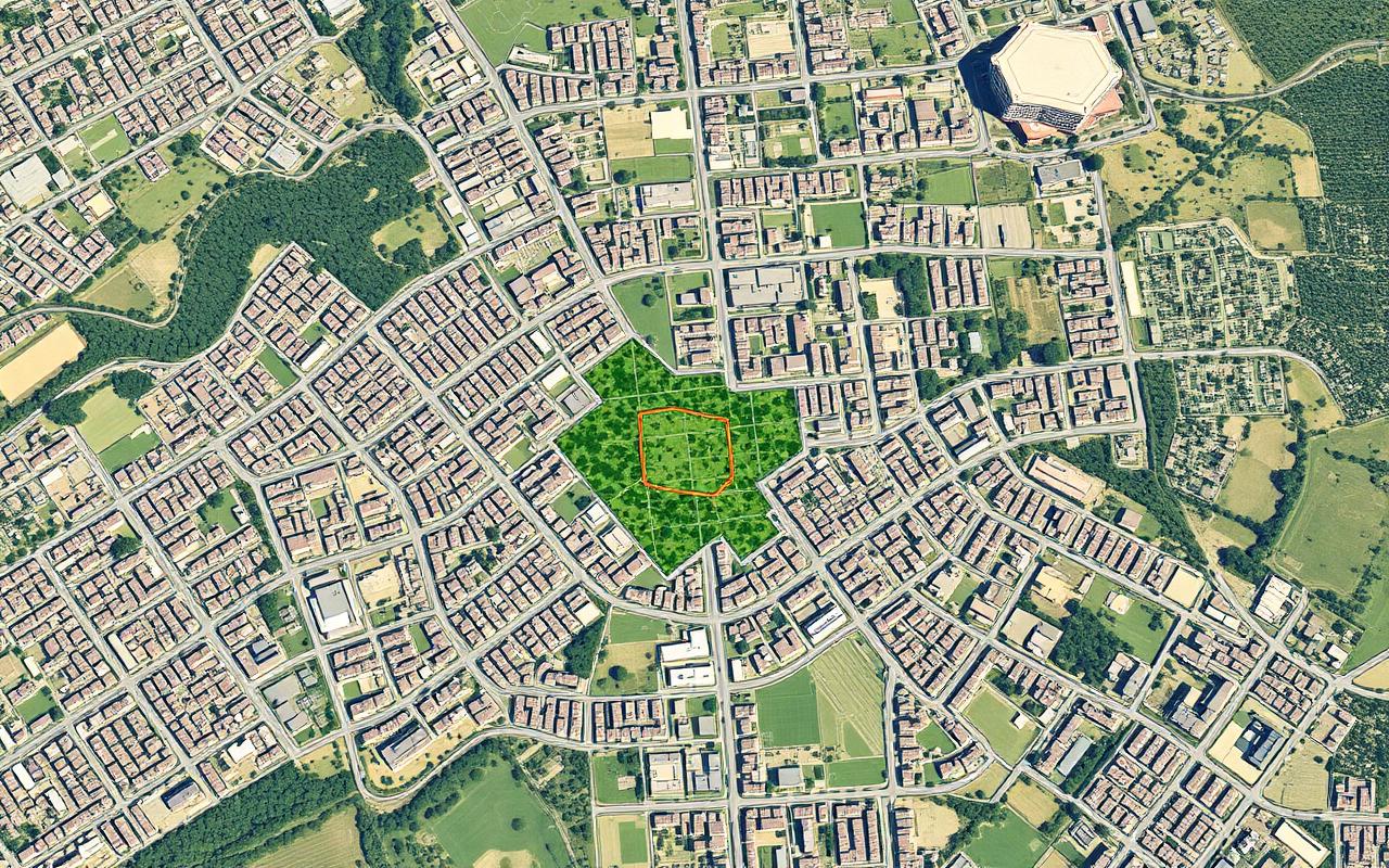
Mapping green space, biodiversity and infrastructure to support township resilience.
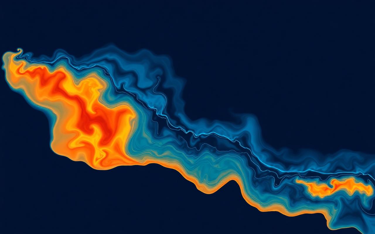
Satellite-driven monitoring of abnormal heat patterns and vegetation loss.